
Agri-Drones: How They’re Changing the Game for Precision Agriculture
Blog post description.
HawkEye
5/3/20251 min read
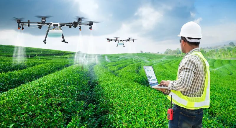
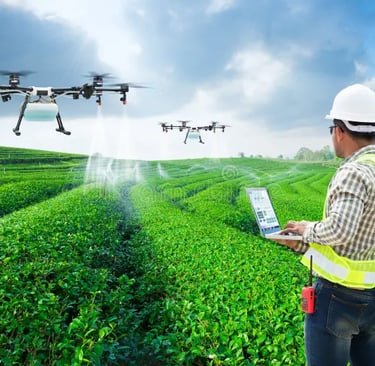
Aerial Imaging for Crop Health
Drones equipped with multispectral or thermal cameras scan large fields quickly.
They detect early signs of disease, pest stress, or nutrient deficiency.
NDVI (Normalized Difference Vegetation Index) maps guide spot treatments.
Precision Spraying
Drones spray fertilizers, pesticides, and herbicides only where needed.
Results in up to 30% chemical savings and reduces environmental runoff.
Useful in inaccessible, hilly, or fragmented farm plots.
Soil & Field Analysis
Before planting, drones map soil variation and moisture zones.
Helps determine optimal seeding patterns and irrigation strategies.
Increases input efficiency and crop uniformity.
Real-Time Data for Decision Making
Live feeds and data analytics help farmers:
Track growth stages
Plan harvest schedules
Monitor replanting needs
Integrated with AI/ML dashboards for actionable insights.
Disaster & Insurance Assessments
After floods, droughts, or storms, drones rapidly assess crop damage.
Creates geo-tagged imagery for crop insurance claims and disaster relief.
Reduces human bias and speeds up relief processes.
Boosting Productivity
Faster monitoring of large land areas (100+ acres in minutes).
Reduced labor dependency, especially during crises like pandemics.
Supports data-driven farming for higher yields and better profits.
Integration with Other Tech
Linked to AI platforms (e.g., CropIn, Fasal) for forecasting and yield mapping.
Pairs with IoT soil sensors and weather data for comprehensive farm intelligence.